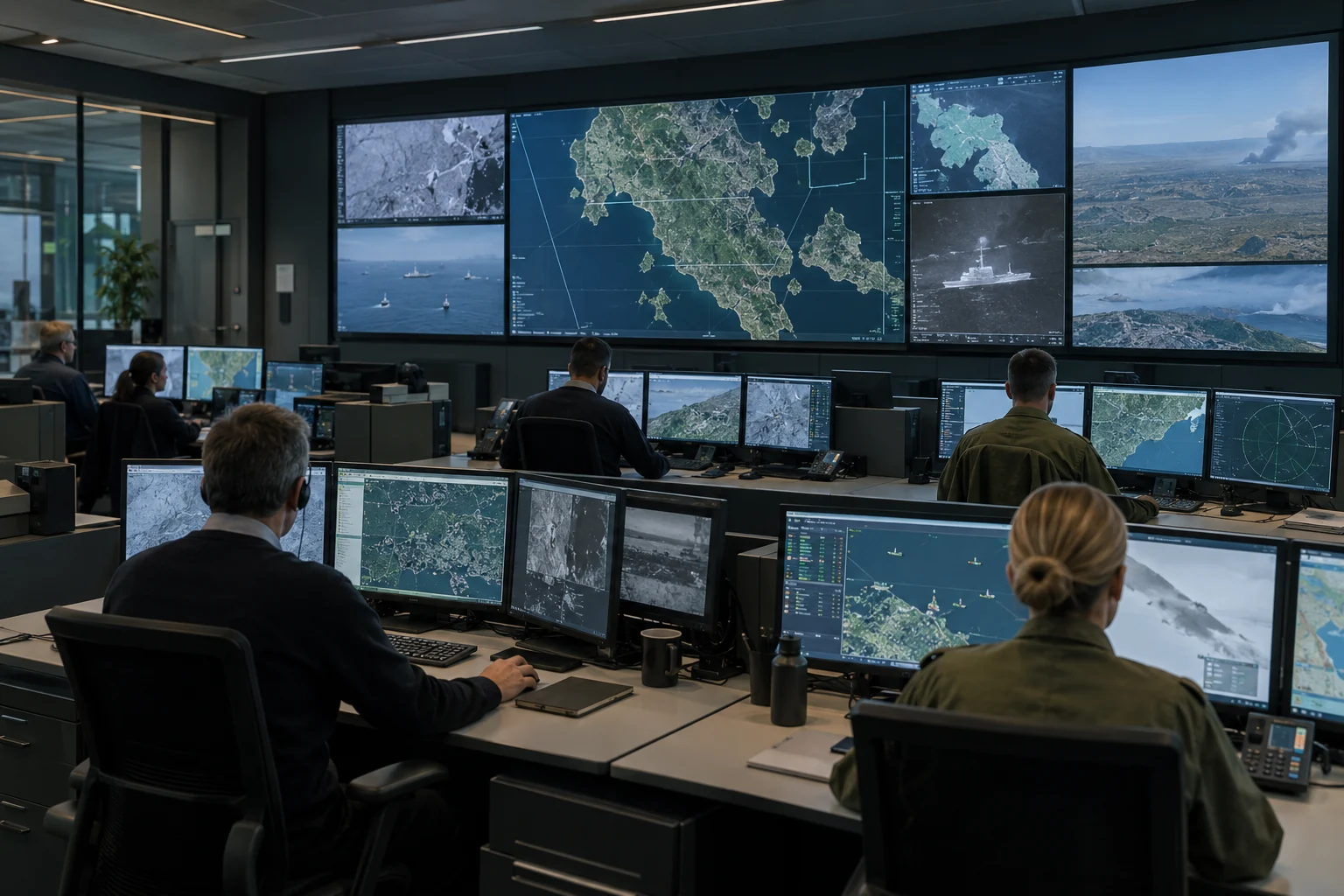
Operational intelligence.
From the edge.
Turn visual and thermal imagery into reviewed observations. Share relevant events with command systems to support a common operational picture.
 edge
edgeGive dismounted units local image recognition on tactical devices. Identify people and vehicles in drone imagery, assess relevant observations and contribute to the operational picture—even when connections to higher headquarters are disrupted.
Explore the reconnaissance scenarioA reconnaissance unit monitors its area of operations and reports relevant activity. Drone imagery helps build the operational picture, even when communications are disrupted and access to central systems is limited.
On the tactical Android device, local AI highlights people and vehicles for the operator to assess. Reviewed observations can then be shared through TAK. The recording below shows local detection and review in the app.
The reconnaissance element reviews available drone imagery on its tactical device. Recognition runs locally, without a connection to a central processing service.
The operator examines the image clip, verifies the detection and assesses its relevance to the assigned reconnaissance task. Human judgement determines what is reported.
Share the reviewed observation through TAK using Cursor-on-Target (CoT). Delivery to other units or headquarters depends on an available communication or offline transfer route.
Return representative field imagery to the model team. In Jump Edge Studio, refine a supplied base model on your own hardware, validate it and distribute the approved update to tactical devices or edge computers.
See how model refinement worksCompact models, offline inference and local improvement. Models and integrations are tailored and validated for each application.
Turn visual and thermal imagery into reviewed observations. Share relevant events with command systems to support a common operational picture.
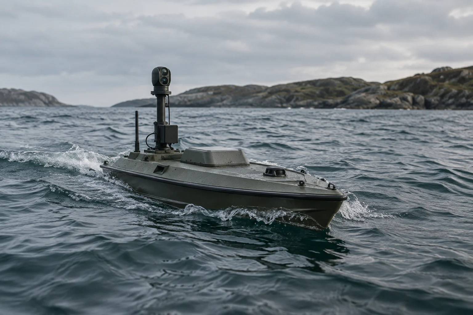
Process visual and thermal imagery onboard uncrewed vessels. Fit recognition models to available compute and power, and share observations when connectivity allows.
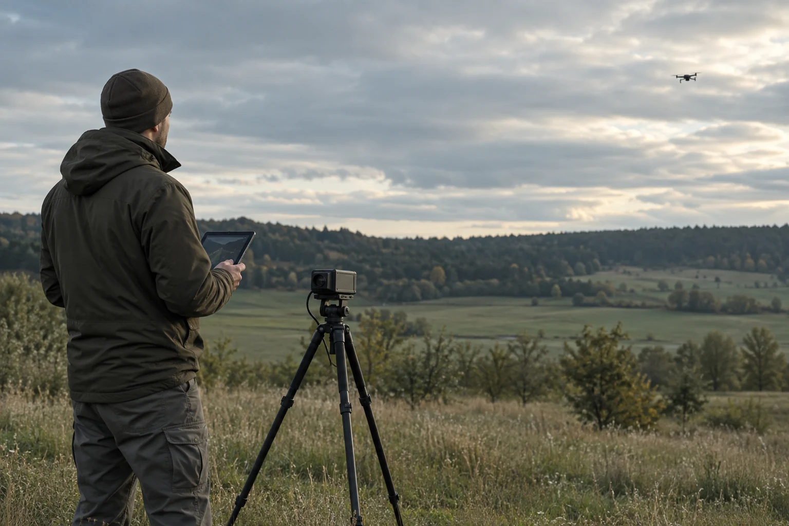
Run visual and thermal drone recognition on compact sensor systems. Present candidate detections and supporting imagery for operator assessment.
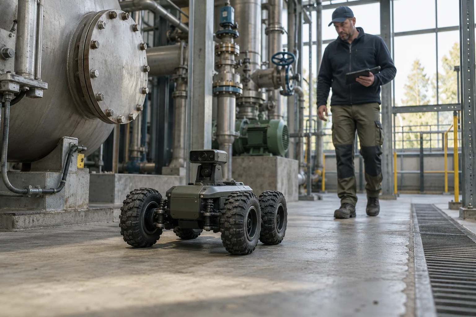
Bring local perception to robots and drones. Run compact vision models onboard and adapt them to the platform’s task and operating environment.
Start with supplied base models, including recognition of people and vehicles. Refine them when the mission needs more specific recognition.
Organize data, train and validate on your own hardware. Deploy the approved model to the tactical app or a compatible edge computer.
Use Android for operator-led review, or process sensor imagery directly on a drone, vehicle or other edge platform. For TAK workflows, we align the app, CoT integration and plugin with your TAK version and review requirements.
In DDIL environments, local inference on available imagery can continue without a permanent cloud connection. Live feeds, model updates and sharing observations require an available communication or offline transfer route.
Discuss your operational requirement, available sensors and intended platform. We’ll work with you to define the model, integration and validation needed for your environment.